 Secret spot
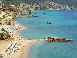
Es Figueral jetty
A jetty on the rocks that split Es Figueral beach in two, with the island of Tagomago on the horizon. A photo spot in north-east Ibiza.

Secret spot · Santa Eulària des Riu
A tall, narrow rock between Es Figueral and Aigües Blanques, known for the red hearts painted on it. A photo stop on the north-east coast.
Es Paller d’en Camp is a tall, narrow rock at the northern end of Es Figueral beach, on Ibiza’s north-east coast. The area falls within the municipality of Santa Eulària des Riu. The rock marks the boundary between Es Figueral beach and the stretch of coast towards Aigües Blanques.
Its nickname, Heart Rock, comes from the red hearts painted on the rocks. It isn’t known who painted them. You get a good view of the rock from Es Figueral beach, but the hearts are easier to make out from above, at the viewpoint higher up.
At the foot of the rock you can see a passage that was cut through the stone at some point in the past. It made it easier to get from one beach to the other.
Close to the rock is the little cove of Racó de ses Dones, Catalan for ‘women’s corner’. Local lore has it that men and women used to bathe separately here: the men went to the main beach, the women to this little inlet. Today it’s a small, secluded cove.
Drive to Es Figueral, in the north-east of the island. Park by the beach wherever parking is marked, then walk along the sand to the northern end, where the rock stands. The viewpoint is higher up the coast; use the map pin as a guide.
There are no facilities at the rock itself. You’ll find restaurants on Es Figueral beach.
This text was written with AI assistance and has not yet been reviewed by our editors. Editorial policy
These details come from open data sources and have not been checked by IBIZAMAP yet. Check them before you go.
Secret spotA jetty on the rocks that split Es Figueral beach in two, with the island of Tagomago on the horizon. A photo spot in north-east Ibiza.
 Secret spot
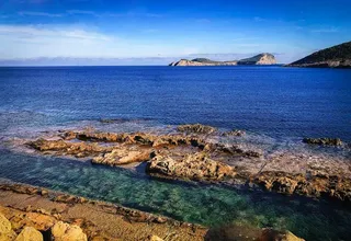
A strikingly straight channel running through a rock platform near Pou des Lleó, on Ibiza’s north-east coast.
 Secret spot
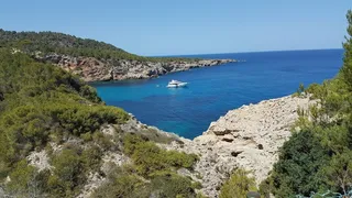
A sea cave with a large, slanting mouth near Cala de Sant Vicent, looking out towards the old sa Punta Grossa lighthouse. A short, rocky walk.
 Secret spot
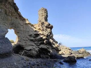
The ruin of a 19th-century lighthouse on a cliff near Cala de Sant Vicent. The only way there is a dangerous, partly collapsed coastal path. Not for children.
 Beach
Beach449 m away
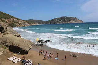
A naturist beach of about 300 m below high cliffs near Sant Carles, with views of Tagomago. Steep descent; in the afternoon the beach falls into shade.
520 m away
Friendly vibes, wood-fired pizzas, cocktails and fresh pasta on a cozy terrace.
 BeachBlue Flag
2 km away
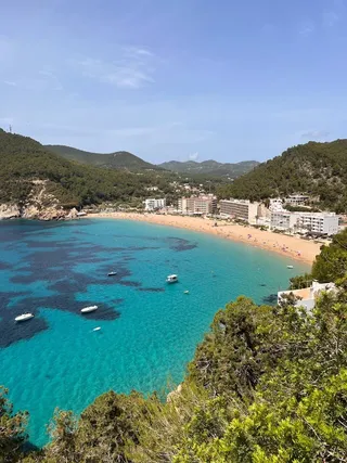
A wide sandy bay in north-east Ibiza with clear, shallow water, beach facilities and a view of the islet of Tagomago.