
 Beach
BeachSa Roqueta
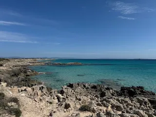
A small, natural beach right by Es Pujols in Ses Salines Natural Park: fine white sand, small rocks and clear, shallow water. Few facilities.


Photo credits
Beach · Formentera
A narrow spit of sand at the northern tip of Formentera, with water on both sides and views of s’Espalmador. Only reachable on foot from Ses Illetes.
In the north of Formentera, the Es Trucadors peninsula juts out into the sea. It’s almost 3 km long and about 200 metres wide on average. On its west side is Ses Illetes beach, on its east side Platja de Llevant. Platja de Trucadors is right at the end.
At the tip, by Es Pas des Trucadors, a narrow tongue of white sand runs out into the sea towards the island of s’Espalmador. On either side of you is clear, turquoise water.
According to the Catalan Wikipedia, ‘Trucadors’ is a corruption of ‘Traücadors’, from the verb traücar (to pierce). Boats ran the risk of being holed on the shallow rocks off the tip.
The whole area is part of the Parc Natural de ses Salines d’Eivissa i Formentera. The underwater posidonia meadows in this park are on the UNESCO World Heritage List.
You can get as far as Ses Illetes by car, scooter or bike. From there you walk north; the end of the spit can only be reached on foot. How long the walk takes depends on where you park.
In season, access to the Ses Illetes area for cars and motorbikes is regulated, with a cap on the number of vehicles. In 2026 the rules applied from 10 May to 15 October, and anyone who didn’t live on Formentera paid an entry fee. On foot, by bike or in an electric vehicle, entry was free. Check the Consell de Formentera’s current rules and fees before you go.
There are no beach bars or restaurants on the spit itself, and no sunloungers or parasols for hire. You will find restaurants along Ses Illetes, further south. Bring enough water, food and sun protection for the walk. There’s no lifeguard on this stretch.
At the tip you’re a long way from help and facilities. Bring plenty of drinking water, protect yourself from the sun and, if you swim, bear in mind the currents around the tip.
Platja de Trucadors on Formentera’s official tourism website
This text was written with AI assistance and has not yet been reviewed by our editors. Editorial policy
These details come from open data sources and have not been checked by IBIZAMAP yet. Check them before you go.
BeachA small, natural beach right by Es Pujols in Ses Salines Natural Park: fine white sand, small rocks and clear, shallow water. Few facilities.
 Beach
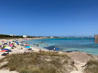
BeachQuiet beach with clear water and few tourist facilities.
 Beach
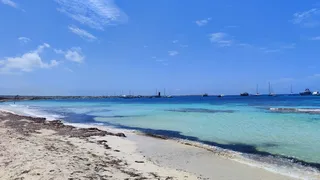
BeachA white sandy beach with shallow water, about 2 km from the port of La Savina, with views of Ibiza, Es Vedrà and the sunset.
 Beach
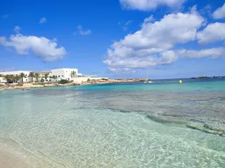
BeachThe beach in the resort of Es Pujols on Formentera: about 700 metres of fine sand along the promenade, shallow water, facilities within walking distance and…
 Beach
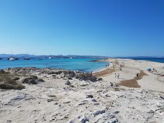
BeachA long sandy beach on the east side of the Es Trucadors peninsula on Formentera, in Ses Salines Natural Park. There’s an entry fee for cars and motorbikes.
 Beach
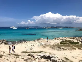
BeachA white sandy beach with shallow, turquoise water on the Es Trucadors peninsula in the north of Formentera, with restaurants and a natural park all around.